|
|
||||
|
|
||||
|
Inalti |
||||
|
For cave maps and drawings please click on the picture... |
For photographs please click on the photo... |
|||
|
 |
|||
|
Type: |
Cave | |||
|
Altitude: |
1634 m | |||
|
Depth: |
-33 m | |||
|
Length: |
690 m | |||
|
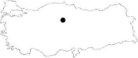
Region: |
Central Anatolia | |||
|
Province: |
Yozgat | |||
|
District: |
Akdagmadeni | |||
|
Village: |
Yukari Çulhali | |||
|
|
||||
 |
||||
| The cave is accessed after an approximately 3 km drive through the woods which is off of the village road, 2 km before reaching the Yukari Çulhali Village from Akmagdenli District. Inalti Cave was formed inside the usually largely crystallized Paleozoic Age marbles. Due to the structure of the marble containing cracks the cave bears a grit plan. The cave went through a sinkhole phase during its early formation and fossilized as of present. It was surveyed and mapped by MTA. There are no animal groups except for the bats Nazik et al. 2005]. |
| Location: |
| Structural Properties and formation : |
| Research History: |
| Findings: |