|
|
||||
|
|
||||
|
Devini |
||||
|
For cave maps and drawings please click on the picture... |
For photographs please click on the photo... |
|||
|
 |
|||
|
Type: |
Cave | |||
|
Altitude: |
836 m | |||
|
Depth: |
-30 m | |||
|
Length: |
228 m | |||
|
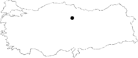
Region: |
Black Sea | |||
|
Province: |
Tokat | |||
|
District: |
Turhal | |||
|
Village: |
Senyurt | |||
|
|
||||
 |
||||
| Devini can be accessed by motor vehicle up to a distance approximately of 300 m in the direction of the phone communication transmitters on Mercimek Mountain west of Senyurt Sub-district. Devini cave lies inside the Permian Age marbles, and extends in parallel to the faultline located immediately north. The cave contains very interesting formations and high columns. On the other hand some remains and a cistern were found which suggest the cave was used during ancient ages. It was surveyed and mapped by MTA in 2005. Although very few bats were encountered inside the cave there is a large amount of guano [Nazik-Törk 2005]. |
| Location: |
| Structural Properties and formation : |
| Research History: |
| Findings: |