|
|
||||
|
|
||||
|
Çesmelidere 2 |
||||
|
For cave maps and drawings please click on the picture... |
For photographs please click on the photo... |
|||
|
 |
|||
|
Type: |
Cave | |||
|
Altitude: |
1648 m | |||
|
Depth: |
-30 m | |||
|
Length: |
65 m | |||
|
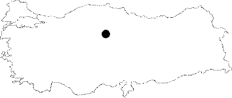
Region: |
Central Anatolia | |||
|
Province: |
Yozgat | |||
|
District: |
Akdagmadeni | |||
|
Village: |
Yukari Çulhali | |||
|
|
||||
 |
||||
| Cesmelidere Cave is accessed through a 2.5 km long path in the woods which is off of the road to village, 2 km before reaching the Yukari Çulhali Village from Akdagmadeni District. Cesmelidere Cave was composed as a sinkhole inside white Eocene limestones then was fossilized by standing alone through the shattering of the polje. There are plenty of formations inside the cave. It was visited and mapped by MTA. The only group of animals encountered were the bats [Nazik et al. 2005]. |
| Location: |
| Structural Properties and formation : |
| Research History: |
| Findings: |