|
|
||||
|
|
||||
|
Kuru Magara |
||||
|
For cave maps and drawings please click on the picture... |
For photographs please click on the photo... |
|||
|
 |
|||
|
Type: |
Cave | |||
|
Altitude: |
65 m | |||
|
Depth: |
m | |||
|
Length: |
147 m | |||
|
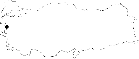
Region: |
Marmara | |||
|
Province: |
Balikesir | |||
|
District: |
Gönen | |||
|
Village: |
Dereköy | |||
|
|
||||
 |
||||
| It is situated approximately at 400 m distance from the Dereköy Fish Farm. The cave consists of the main gallery and the its branches that divide at this spot. It was surveyed and mapped by MAD in March 2007 [MAD 2008-14/117]. It was visited during the survey conducted by Yalçikli in 2011. Only an area of 40 m could be surveyed as the inner sections of the cave were blocked by the fills. Potsherds that could be dated to Chalcolithic, EBA and Roman Period were encountered in the cave. Illicit digging pits were found on the floor of the cave [Yalçikli 2013:21]. |
| Location: |
| Structural Properties and formation : |
| Research History: |
| Findings: |