|
|
||||
|
|
||||
|
Sulu Magara |
||||
|
For cave maps and drawings please click on the picture... |
For photographs please click on the photo... |
|||
|
 |
|||
|
Type: |
Cave | |||
|
Altitude: |
65 m | |||
|
Depth: |
m | |||
|
Length: |
84 m | |||
|
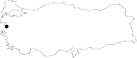
Region: |
Marmara | |||
|
Province: |
Balikesir | |||
|
District: |
Gönen | |||
|
Village: |
Dereköy | |||
|
|
||||
 |
||||
| It is approximately 400 m from Dereköy Fish Farm. The water basin is accessed via a brief descent immediately after the entrance. At this spot there is a pond that extends towards left. It was surveyed and mapped by MAD in March 2007. The myotis myotis/blythi bat colony resides inside the cave. The documentation of the cave as habitat and its preservation was advised [MAD 2008-14/116]. |
| Location: |
| Structural Properties and formation : |
| Research History: |
| Findings: |