|
|
||||
|
|
||||
|
Keçili |
||||
|
For cave maps and drawings please click on the picture... |
For photographs please click on the photo... |
|||
|
 |
|||
|
Type: |
Cave | |||
|
Altitude: |
65 m | |||
|
Depth: |
m | |||
|
Length: |
29 m | |||
|
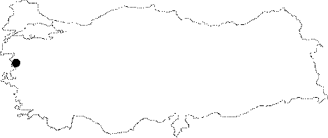
Region: |
Marmara | |||
|
Province: |
Balikesir | |||
|
District: |
Gönen | |||
|
Village: |
Dereköy | |||
|
|
||||
 |
||||
| It is approximately 400 m from Dereköy Fish Farm. It consists of a large entrance, a hall and a small room. ıt is more like a cavity than a cave. It was surveyed and mapped by MAD in 2007 [MAD 14.115]. It was visited during the survey conducted by Yalçikli between 2009 and 2010. A few potsherds which could be dated to Chalcolithic and EBA were found in the illicit digging pits discovered inside of the cave. Roman amd Middle Age potsherds were encountered as well [Yalçikli 2012:214-215]. |
| Location: |
| Structural Properties and formation : |
| Research History: |
| Findings: |