|
|
||||
|
|
||||
|
Kayabogazi Kanyonu Magaralari |
||||
|
For cave maps and drawings please click on the picture... |
For photographs please click on the photo... |
|||
|
 |
|||
|
Type: |
Cave | |||
|
Altitude: |
750 m | |||
|
Depth: |
m | |||
|
Length: |
36.5 m | |||
|
Region: |
Black Sea | |||
|
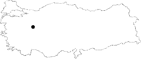
Province: |
Bilecik | |||
|
District: |
Yenipazar | |||
|
Village: |
||||
|
|
||||
 |
||||
| It is situated between Karahasanlar and Inhisar. It was surveyed and mapped by MAD in January 2006 [MAD 14:89]. |
| Location: |
| Structural Properties and formation : |
| Research History: |
| Findings: |