|
|
||||
|
|
||||
|
Asarini |
||||
|
For cave maps and drawings please click on the picture... |
For photographs please click on the photo... |
|||
|
 |
|||
|
Type: |
Cave | |||
|
Altitude: |
1625 m | |||
|
Depth: |
-3 m | |||
|
Length: |
793 m | |||
|
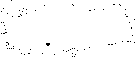
Region: |
Central Anatolia | |||
|
Province: |
Karaman | |||
|
District: |
Merkez | |||
|
Village: |
Taskale | |||
|
|
||||
 |
||||
| Location: It is situated 300 m south of Incesu Cave which is on the east bank of Incesu Stream; 9.5 km south of Taskale Town of Karaman Province Center. Just as in the case of Incesu Cave; Asarini is on a karstic plateau; declining towards the Konya Plain. |
| Structural Properties and formation : Asarini was developed inside pretty pure Middle Miocene aged limestones as it was the case in Incesu Cave. The extensions and interrelations of Asarini and Incesu show that this system was previously consisting of one single cave. Additionally the pebbles found inside the benches on the basin of both caves are of same origin. The last section of the 555 m long A branch of the entrance of Asarini Cave which has an altitude of 1625 m; is 4 m above the entrance. The 238 m long B branch is 3 m below the entrance. Due to the thin layer of limestone that constitutes the ceiling of Asarini Cave; there is not as much travertine composition as there is in Incesu Cave. This is especially the case in branch B. Asarini is a vertically developed fossil cave. |
| Research History: It was researched by Geological Studies Department of MTA General Directorate; and published in 2005. |
| Findings: There are many bats inside the cave; near the entrance. In addition to that; there are plenty of Guanobia which are fed by the guano as well. There are also some multiple-pod creatures such as Myriapods. |