|
|
||||
|
|
||||
|
Inilmez Ini 1 |
||||
|
For cave maps and drawings please click on the picture... |
For photographs please click on the photo... |
|||
|
 |
|||
|
Type: |
Cave | |||
|
Altitude: |
m | |||
|
Depth: |
m | |||
|
Length: |
m | |||
|
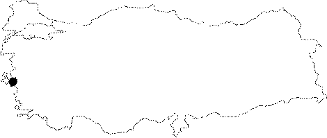
Region: |
Aegean | |||
|
Province: |
Izmir | |||
|
District: |
Buca | |||
|
Village: |
Kiriklar | |||
|
|
||||
 |
||||
| Inilmez Ini 1 is a fossilized vertical cave that has been formed in Upper Cretaceous aged limestones locating very close to the summit of Sivri Mountain. The cave starts with an inclining entrance and continues in a 4-5 m wide crack. The compressing of the rocks in narrow places has formed the floor. It gets rather narrow between -30 m and -37 m and its width becomes 50 cm. After -37 m it starts to get widen again and ends up with a rather big gallery when it is compared to the other rooms. The branch at the -24 m ends up after a descent of 10 m. The stones falling down from the entrance of the cave can reach the depth of -37m. It is not very rich in decorations; but the rare stalagmites and stalactites are reported to be interesting. After -42 m depth a group of bats were observed and at some places a sort of myriapod resembling millipedes was seen. The cave was explored by EMAK in 2000. |
| Location: |
| Structural Properties and formation : |
| Research History: |
| Findings: |