|
|
||||
|
|
||||
|
Kiliçliin |
||||
|
For cave maps and drawings please click on the picture... |
For photographs please click on the photo... |
|||
|
 |
|||
|
Type: |
Cave | |||
|
Altitude: |
1657 m | |||
|
Depth: |
-8 m | |||
|
Length: |
323 m | |||
|
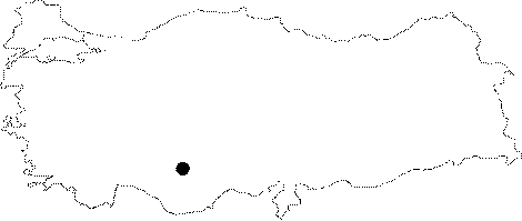
Region: |
Central Anatolia | |||
|
Province: |
Karaman | |||
|
District: |
Merkez | |||
|
Village: |
Adaköy | |||
|
|
||||
 |
||||
| Location: It is a cave in NW-SE direction; located on the eastern slope of Göksu River; flowing inside the deep canyons and valleys of the Bozdag-Mahrem Dagi-Oyuklu Dag mountains; which have peaks reaching to 2200 m altitude; near the Ermenek District border; at the westernmost point of Karaman Province. |
| Structural Properties and formation : Kiliçliin is a sinkhole type; fossil/half-active cave. It primarily expands in north-south direction; then at the final section makes a curve in the east direction; its highest point is at +9 m above the entrance; and the final section is at Ğ8 m below. Therefore it is a cave inside a limestone layer; 17 m in height. It is 15 m above the surface. In the beginning it starts as a shapely gallery; with its basin covered by sand; pebbles; and blocks; it then elevates up to 49 m height. Then it lowers with a sharp declination and ends with a siphon at Ğ8 m. There are many natural pits; some reaching a depth of 4 m; at the basin of this section. There are stalactites; stalagmites; columns; bacon rinds; and dripstone ponds at some sections inside this cave where the height reaches 1-12 m; and the width is 1-5 m. The expansion directions of the dripstone ponds according to the subsurface waters flow direction; are towards the entrance (north) in the first section; and towards the east; in line with the current flow direction in the final section. |
| Research History: It was researched by the Geological Studies Department of MTA General Directorate; and published in 2005. |
| Findings: |