|
|
||||
|
|
||||
|
Yelinüstü |
||||
|
For cave maps and drawings please click on the picture... |
For photographs please click on the photo... |
|||
|
 |
|||
|
Type: |
Horizontal Cave | |||
|
Altitude: |
1120 m | |||
|
Depth: |
-90 m | |||
|
Length: |
420 m | |||
|
Region: |
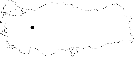
Central Anatolia | |||
|
Province: |
Eskisehir | |||
|
District: |
Günyüzü | |||
|
Village: |
Kayakent Beldesi | |||
|
|
||||
 |
||||
| Location: It lies to the southeast of the Sivrihisar Mountains; in parallel to the Sakarya River on the Sivrihisar-Günyüzü road. Kayakent can be reached from the Ankara-Eskisehir or Ankara-Polatli-Yunak motorways. It is very close to the village. |
| Structural Properties and formation : It is connected to the second section through a narrow gallery with short descents; deviating to the right. The bottom of this hall is covered by big blocks; and the walls are adorned with various dripstones. The hall opens into two distinct halls with similar decorations. It is entirely dry except the waters dripping from the ceiling during heavy rain. Cistern and pools had been constructed In ancient times in order to collect these dripping waters. The mean temperature is 20 degrees and humidity is 70%. |
| Research History: It was explored by MTA; and its map and other characteristics were published in 2001. |
| Findings: Presence of cultural deposits and archaeological remains was reported; indicating that it had been inhabited by men in ancient times. Colonies of bats inhabit the lower big depression hall with a narrow entrance. |