|
|
||||
|
|
||||
|
Tütül Düdeni |
||||
|
For cave maps and drawings please click on the picture... |
For photographs please click on the photo... |
|||
|
 |
|||
|
Type: |
Vertical Cave | |||
|
Altitude: |
m | |||
|
Depth: |
-15 m | |||
|
Length: |
m | |||
|
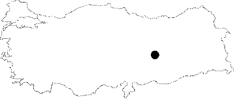
Region: |
Eastern Anatolia | |||
|
Province: |
Adiyaman | |||
|
District: |
Kahta | |||
|
Village: |
||||
|
|
||||
 |
||||
| It is located in the Nemrut Mountain. It was explored and mapped by E. Gilli and J.C. Peyre during the Eynif 1979 expedition. |
| Location: |
| Structural Properties and formation : |
| Research History: |
| Findings: |