|
|
||||
|
|
||||
|
Tulumba |
||||
|
For cave maps and drawings please click on the picture... |
For photographs please click on the photo... |
|||
|
 |
|||
|
Type: |
Horizontal Cave | |||
|
Altitude: |
275 m | |||
|
Depth: |
-6 m | |||
|
Length: |
270 m | |||
|
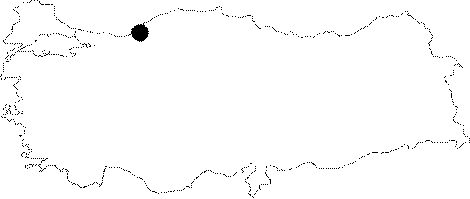
Region: |
Black Sea | |||
|
Province: |
Zonguldak | |||
|
District: |
Merkez | |||
|
Village: |
Çatalagzi | |||
|
|
||||
 |
||||
| Location: t is located 1 km south of Çatalagzi to the east of Kilimli; on the eastern bank of the Gelik Brook; and 10 m high from the base of the valley. The Zonguldak-Kilimli-Çatalagzi-Karadon road passes near to the cave. The pump in front of the cave supplies potable water to the Karadon enterprise. |
| Structural Properties and formation : t was formed within the Barremian aged Zonguldak formation which allows only limited karstification due to its lithological characteristics. It is situated to the south of Çatalagzi fault which is in the southwest-northeast direction; and it lies parallel to the fault line. It ends up with a completely fossilized wall closed with big rocks. There is no entry of water at that point. On the other hand; numerous ponors (sinkholes) were formed on the western edges of the cave. |
| Research History: It was explored and mapped by MTA. |
| Findings: There are cave spiders and cave flies in the entrance zone; and millipedes in the final zone. |