|
|
||||
|
|
||||
|
Toklu Kalesi |
||||
|
For cave maps and drawings please click on the picture... |
For photographs please click on the photo... |
|||
|
 |
|||
|
Type: |
Cave | |||
|
Altitude: |
1410 m | |||
|
Depth: |
-55 m | |||
|
Length: |
m | |||
|
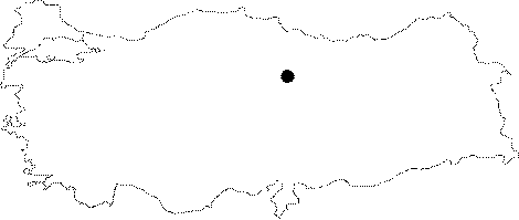
Region: |
Central Anatolia | |||
|
Province: |
Aksaray | |||
|
District: |
Sariyahsi | |||
|
Village: |
Yenitorunobasi | |||
|
|
||||
 |
||||
| Location: It is located at the Toklu Kalesi Mevkii of the Demircibag Village of the Sereflikochisar District of Ankara. |
| Structural Properties and formation : It is situated at 1410 m attitude with a small hole-like entrance. Descending with a slope of 45 degrees; it ends up with a lake after 50-60 m. The traces of chisels on the ceiling suggest that it used to be a natural crack enlarged by man. |
| Research History: It was explored by ANMAK in 1991. |
| Findings: The potsherds on the floor indicate the presence of an ancient settlement here. |