|
|
||||
|
|
||||
|
Tepebasi |
||||
|
For cave maps and drawings please click on the picture... |
For photographs please click on the photo... |
|||
|
 |
|||
|
Type: |
Cave | |||
|
Altitude: |
350 m | |||
|
Depth: |
+2 m | |||
|
Length: |
45 m | |||
|
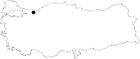
Region: |
Marmara | |||
|
Province: |
Sakarya | |||
|
District: |
Kocaali | |||
|
Village: |
Serbetpinari | |||
|
|
||||
 |
||||
| Location: It is located on the east side of the Sirt quarter; 3 km northeast of Serbetpinari Village; 13 km south of the Kocaali District in Sakarya Province. |
| Structural Properties and formation : It has the similar geological characterisitics of the Meratepe and Serbetpinari caves. It is a spring type fossil cave in NW-SE and east-west directions; that completed its development. Just as in the other caves in the region it gets deeper towards its center. and it has a basin covered with debris; blocks; and soil. Stalactites; stalagmites; columns; and bacon rinds were developed inside the round shape hall at the last section. |
| Research History: It was researched by the Geological Studies Department of the MTA General Directorate and published in 2002. |
| Findings: There are very few bats living at the last section of the cave. |