|
|
||||
|
|
||||
|
Sabanin Düdeni |
||||
|
For cave maps and drawings please click on the picture... |
For photographs please click on the photo... |
|||
|
 |
|||
|
Type: |
Horizontal Cave | |||
|
Altitude: |
1565 m | |||
|
Depth: |
-46 m | |||
|
Length: |
107 m | |||
|
Region: |
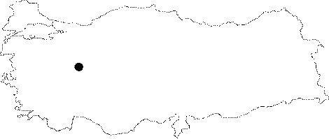
Central Anatolia | |||
|
Province: |
Eskisehir | |||
|
District: |
Mihaliçcik | |||
|
Village: |
Küçük Sasa | |||
|
|
||||
 |
||||
| Location: It is located 3 km south of the Kücük Sasa Village; next to the Sabanpinari Fountain. It was developed on the base of a depression situated on a ridge diverting the basins of the Domya Creek and the Porsuk Brook. It can be reached from a road deviating from the town of Bozan on the Eskisehir Muhalcik motorway and interconnecting the villages of Circir-Agachisar-Sasa-Yalimkaya (Domya). |
| Structural Properties and formation : The entrance is like a -6 m deep shaft. Further down; with an inclined base; it ends up at -46 m. The bottom is covered with debris and blocks at the beginning; and with sand; pebbles and debris towards the end. The narrowing final zone ends up with a closed siphon filled with water. Small lakes were formed in the final zone. It is a semi-active sinkhole. |
| Research History: It was explored by MTA; and its map and other characteristics were published in 2001. |
| Findings: |