|
|
||||
|
|
||||
|
Suçikan |
||||
|
For cave maps and drawings please click on the picture... |
For photographs please click on the photo... |
|||
|
 |
|||
|
Type: |
Horizontal Cave | |||
|
Altitude: |
640 m | |||
|
Depth: |
m | |||
|
Length: |
254 m | |||
|
Region: |
Black Sea | |||
|
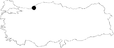
Province: |
Zonguldak | |||
|
District: |
Devrek | |||
|
Village: |
Deliahmetoglu | |||
|
|
||||
 |
||||
| Location: It is located in the Dangezoglu Quarter of the Deliahmetoglu Village of the Devrek District. |
| Structural Properties and formation : It was formed as a result of the enlargement of a fault crack on a step-like rocky mass due to abrasion. Consisting of narrow corridors from the entrance continues along with the crack. There are several small branches leading into the main corridor. |
| Research History: It was explored by ANMAK in 1992. |
| Findings: There is a silt layer including several potsherds in the entrance. The samples of these potsherds were examined at DTCF; and determined that they dated back to the Roman Period. |