|
|
||||
|
|
||||
|
Subatagi Düdeni |
||||
|
For cave maps and drawings please click on the picture... |
For photographs please click on the photo... |
|||
|
 |
|||
|
Type: |
Vertical Cave | |||
|
Altitude: |
1685 m | |||
|
Depth: |
-643 m | |||
|
Length: |
1514 m | |||
|
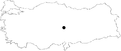
Region: |
Central Anatolia | |||
|
Province: |
Kayseri | |||
|
District: |
Yahyali | |||
|
Village: |
Çamlica | |||
|
|
||||
 |
||||
| Location: It is located at the Subatagi Mevkii; Gelere-Ceviz Upland of the Camlica (Faraca) Village to the northeast of the Aladag Mountains. Situated on the edge of the Aladaglar limestone massif; the region is a plateau with a mean altitude of 1700 m. |
| Structural Properties and formation : The active part is entered through a very large entrance; which developed vertically and can be reached following a 3 m wide and 0.5 m deep stream at the level of 1685 m. And the fossil part is entered from a second entrance; which is located about 30 m high on the slope to the north of the active entrance. There exist whirlpools and lakes along the first -140 m. |
| Research History: It was explored by MAD in 1992 to the depth of -171 m [Susam 1993:36]. And; it was explored to the depth of -412 during a second excursion; and mapped to the BCRA 3c standard. A third exploration was carried out by MAD in 1994; and it was determined that the cave ends up with a siphon at the level of -643 m. |
| Findings: |