|
|
||||
|
|
||||
|
Somaklikaya Düdeni |
||||
|
For cave maps and drawings please click on the picture... |
For photographs please click on the photo... |
|||
|
 |
|||
|
Type: |
Cave | |||
|
Altitude: |
m | |||
|
Depth: |
-15;+10 m | |||
|
Length: |
421 m | |||
|
Region: |
Aegean | |||
|
Province: |
Mugla | |||
|
District: |
Marmaris | |||
|
Village: |
Karaca | |||
|
|
||||
 |
||||
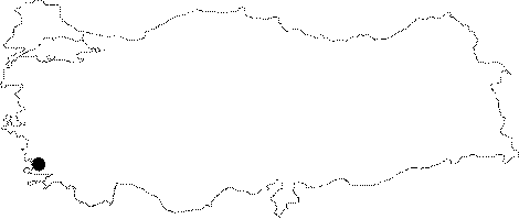
| Location: It lies between the Ovacik and Bayindir Quarters of the Karaca Village at Somakli Mevkii of Marmaris. It is difficult to find the cave without guidance. |
| Structural Properties and formation : It consists of two sections; active and fossil. The active section; roughly elongating in the east-west direction is 343 m long. The water inflows through the main entrance and depression area at the eastern end of the active gallery. In active galleries; no remarkable speleothem or decoration can be seen due to the mechanical abrasion effect of water. On the other hand; the fossil section is very rich in decorations; particularly in dripstones. However; it is not capable of self-cleaning as it is a dry cave. |
| Research History: It was explored by MAD in 1995; and mapped to the BCRA 3d standard. |
| Findings: |