|
|
||||
|
|
||||
|
Sarniçkaya |
||||
|
For cave maps and drawings please click on the picture... |
For photographs please click on the photo... |
|||
|
 |
|||
|
Type: |
Horizontal Cave | |||
|
Altitude: |
735 m | |||
|
Depth: |
-15 m | |||
|
Length: |
76 m | |||
|
Region: |
Marmara | |||
|
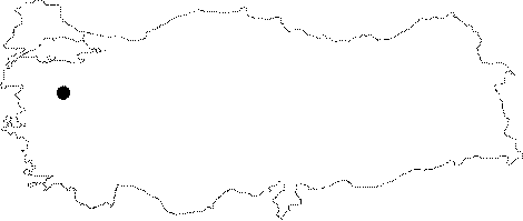
Province: |
Balikesir | |||
|
District: |
Dursunbey | |||
|
Village: |
Karyagmaz | |||
|
|
||||
 |
||||
| Location: It lies 1.5 km east of the Karyagmaz Village. It is accessible either from Dursunbey or Mustafakemalpasa. The stabilized road connecting these two districts; following the Valley of Alova Brook has many ramps as it climbs over the mountains. |
| Structural Properties and formation : It was formed within the Permian aged crystallized limestones. It is located in a region composed by parts of the Miocene denudational surface. It is a passage type of abandoned fossil cave. It drops into a -4 m shaft; which leads exactly into the mid part of the cave. It was formed as a result of breaching of an old underground creek by the Alova Brook and collapse of the roof. Stalactites; stalagmites and wall driptones can be seen in patches. |
| Research History: It was explored and mapped by MTA; and published in 1997. |
| Findings: |