|
|
||||
|
|
||||
|
Sariotluk Ini |
||||
|
For cave maps and drawings please click on the picture... |
For photographs please click on the photo... |
|||
|
 |
|||
|
Type: |
Vertical Cave | |||
|
Altitude: |
560 m | |||
|
Depth: |
-108 m | |||
|
Length: |
246 m | |||
|
Region: |
Aegean | |||
|
Province: |
Mugla | |||
|
District: |
Yatagan | |||
|
Village: |
||||
|
|
||||
 |
||||
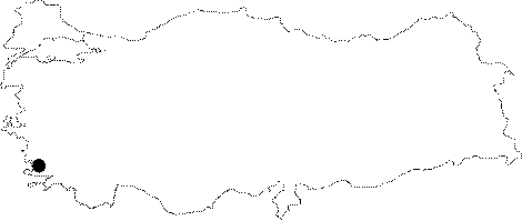
| Location: It lies 700 m southeast of the Yatagan Hill. |
| Structural Properties and formation : Like Citrikini; vapour rises from the mouth of the cave. It is very interesting; but dangerous for a caver. In addition to rise of vapour and warm inner atmosphere; the risk for collapse of rocks is very high. Most of the parts down to -56 m is very narrow while it combines with a tremendous joint fault after -56 m. The end of the ceiling of the 2.5-3 m wide joint is invisible. While descending; one can see big rocky blocks; on the right side; being squeezed between two walls of the joint; which are almost ready to collapse. When climbed toward the north at the descended point; one passes below these squeezed rocks. Here the main gallery combines with another joint fault; and ends; elongating to both sides along the new line. The elongation on the west ends up narrowing. There are crystal decorations within this narrow aperture. The branch descending down on the eastern elongation ends after 10-15 m. If progressed southerly after the 34 m descent; 15-20 m high chimney rocks made of mud can be seen. |
| Research History: It was explored in 1988 by BUMAK and mapped to the 1a standard. |
| Findings: |