|
|
||||
|
|
||||
|
Peynirkuyu |
||||
|
For cave maps and drawings please click on the picture... |
For photographs please click on the photo... |
|||
|
 |
|||
|
Type: |
Horizontal Cave | |||
|
Altitude: |
220 m | |||
|
Depth: |
-40 m | |||
|
Length: |
332 m | |||
|
Region: |
Marmara | |||
|
Province: |
Balikesir | |||
|
District: |
Manyas | |||
|
Village: |
Peynirkuyu | |||
|
|
||||
 |
||||
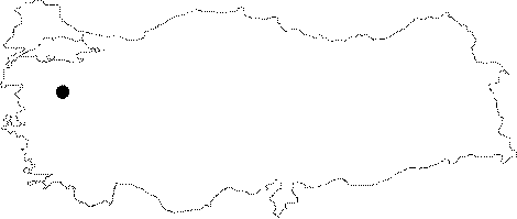
| Location: It is located in the Peynirkuyu Village; 9 km south of Manyas. Situated on a karstic plateau; breached by streams; it can be reached through Manyas or Susurluk. The road running from Susurluk to Manyas through the Dumanköy-Korucaoluk-Irsadiye and Peynirkuyu villages leads near to the cave. |
| Structural Properties and formation : It is narrow and mostly low. Being a semi-active cave; it has a meandering elongation. The bottom is mainly comprised by pebble and sand isles and shallow small lakes. The final zone leads into a large lake; following a 10 m steep descent; which ends up with a closed siphon. These waters resurge on the banks of Kocadere 70-80 m downward. |
| Research History: It was explored and mapped by MTA. |
| Findings: A few bats were seen in the entrance zone. |