|
|
||||
|
|
||||
 |
Peynirini |
|||
|
For cave maps and drawings please click on the picture... |
For photographs please click on the photo... |
|||
|
 |
|||
|
Type: |
Cave | |||
|
Altitude: |
m | |||
|
Depth: |
-108 m | |||
|
Length: |
229 m | |||
|
Region: |
Aegean | |||
|
Province: |
Izmir | |||
|
District: |
Karaburun | |||
|
Village: |
||||
|
|
||||
  |
||||
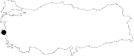
| It is located at Civa Madeni Mevkii; 7 km from Karaburun. It was explored and mapped to the BCRA 3c standards by BUMAK in 1991. Another map drawn by DEÜ-MAK (F. Büyüktopçu) at 2002. |
| Location: |
| Structural Properties and formation : |
| Research History: |
| Findings: |

