|
|
||||
|
|
||||
|
Pasalar |
||||
|
For cave maps and drawings please click on the picture... |
For photographs please click on the photo... |
|||
|
 |
|||
|
Type: |
Horizontal Cave | |||
|
Altitude: |
112 m | |||
|
Depth: |
- 2.5 m | |||
|
Length: |
24 m | |||
|
Region: |
Marmara | |||
|
Province: |
Bursa | |||
|
District: |
Mustafakemalpasa | |||
|
Village: |
Pasalar | |||
|
|
||||
 |
||||
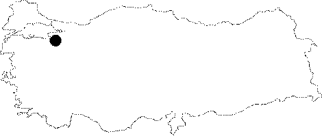
| It is located at Ciftgöller Mevkii on the right bank of the Boynuz Creek; 1 km south of the Pasalar Village. The Mustafakemalpasa-Pasalar motorway leads near to the cave. Being a fossil type of cave; it consists of two interconnected chambers. The floor is covered with debris and blocks of rocks; and the roof is very low. It was explored and mapped by MTA; and published in 1997. |
| Location: |
| Structural Properties and formation : |
| Research History: |
| Findings: |