|
|
||||
|
|
||||
|
Otomatiktepe |
||||
|
For cave maps and drawings please click on the picture... |
For photographs please click on the photo... |
|||
|
 |
|||
|
Type: |
Cave | |||
|
Altitude: |
60 m | |||
|
Depth: |
-11 m | |||
|
Length: |
26 m | |||
|
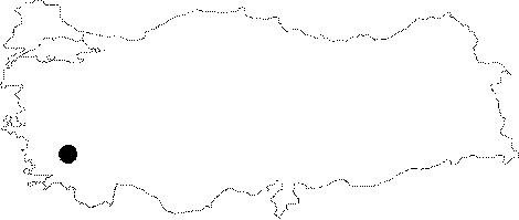
Region: |
Aegean | |||
|
Province: |
Aydin | |||
|
District: |
Kusadasi | |||
|
Village: |
Güzelçamli | |||
|
|
||||
 |
||||
| A road leads near to the cave; which is located on the ridge of the Otomatik Hill to the east of Güzelcamli Village. It was formed both vertically and horizontally. Archaeological excavations were conducted at the bottom of the cave. It was developed within the Mesozoic aged dolomitic recrystalized limestones along a weak zone. The floor is covered with a thin debris and soil. This part of the cave was formed on esterly-westerly directed fault. Travertine decorations are very rare. It is a dry cave; and it is inhabited by bats. It was explored and mapped by MTA. |
| Location: |
| Structural Properties and formation : |
| Research History: |
| Findings: |