|
|
||||
|
|
||||
|
Nusret Düdeni |
||||
|
For cave maps and drawings please click on the picture... |
For photographs please click on the photo... |
|||
|
 |
|||
|
Type: |
Horizontal Cave | |||
|
Altitude: |
275 m | |||
|
Depth: |
- 49 m | |||
|
Length: |
76 m | |||
|
Region: |
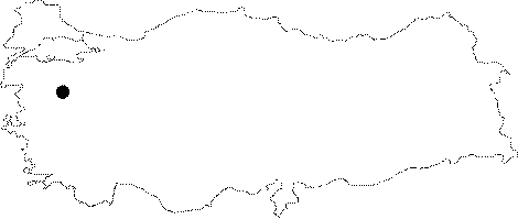
Marmara | |||
|
Province: |
Balikesir | |||
|
District: |
Kepsut | |||
|
Village: |
Nusret | |||
|
|
||||
 |
||||
| Location: It lies on the upper right slope of the Kille Creek to the immediate north of the Nusret Town; 9 km south of the Kepsut District. A road runs from the town of Nusret up to the slope near the cave; followed by a 20-minute walk on this steep slope to reach. |
| Structural Properties and formation : Its formation was initiated when the sinkhole; which is 45-50 m high from the base of valley; started to be buried into the bed of the stream. The entrance is a -27 m shaft. It is located on the vadose zone. It has been entirely fossilized and it is dry in all seasons. |
| Research History: It was explored and mapped by MTA; and published in 1997. |
| Findings: Big colonies of bats inhabit almost all sections of the cave. |