|
|
||||
|
|
||||
|
Mürüvetler Suçikani |
||||
|
For cave maps and drawings please click on the picture... |
For photographs please click on the photo... |
|||
|
 |
|||
|
Type: |
Horizontal Cave | |||
|
Altitude: |
120 m | |||
|
Depth: |
-8.5 m | |||
|
Length: |
73 m | |||
|
Region: |
Marmara | |||
|
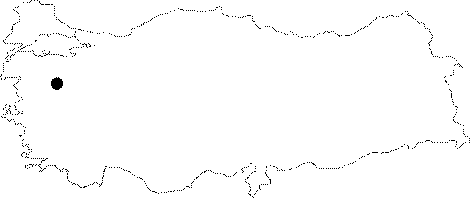
Province: |
Balikesir | |||
|
District: |
Manyas | |||
|
Village: |
Mürüvetler | |||
|
|
||||
 |
||||
| Location: It lies 6 km south of the Mürüvetler Village. It was developed on the right bank of the Karakuza Creek; 30-40 m high from the base of the valley. In front of the cave lies a big trout farm; and a stabilized road from the Mürüvetler Village leads to the cave. |
| Structural Properties and formation : As a resurgence cave with a caged structure depending on the fractures in marbles; it consists of narrow galleries connected with right angles. The flow of the karstic spring is very high. The spring inflowing into the cave like a vaucluse through a narrow siphon at the end of the cave; passes through the blocks in the middle zone; and resurges 6-7 m below the entrance. It is an active cave. |
| Research History: It was explored and mapped by MTA; and published in 1997. |
| Findings: |