|
|
||||
|
|
||||
|
Mürüvetler |
||||
|
For cave maps and drawings please click on the picture... |
For photographs please click on the photo... |
|||
|
 |
|||
|
Type: |
Horizontal Cave | |||
|
Altitude: |
120 m | |||
|
Depth: |
+3 m | |||
|
Length: |
204 m | |||
|
Region: |
Marmara | |||
|
Province: |
Balikesir | |||
|
District: |
Manyas | |||
|
Village: |
Mürüvetler | |||
|
|
||||
 |
||||
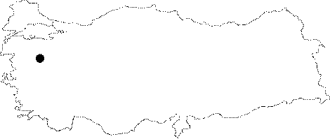
| Location: It lies to 5 km of the Mürüvetler Village; 5 km southeast of Manyas. Developed on the upper right slope of the Karakuza Creek which drains into the Manyas Lake and flows in deeply buried valleys; it can be reached by walking from the bed of creek. |
| Structural Properties and formation : It was formed within the Permian aged crystallized limestones or marbles. It is a spring type of fossil cave. It is adorned with wall dripstones and columns at some sections. Generally; it is dry in all seasons. |
| Research History: It was explored and mapped by MTA; and published in 1997. |
| Findings: |