|
|
||||
|
|
||||
|
Mugada |
||||
|
For cave maps and drawings please click on the picture... |
For photographs please click on the photo... |
|||
|
 |
|||
|
Type: |
Horizontal Cave | |||
|
Altitude: |
m | |||
|
Depth: |
m | |||
|
Length: |
30 m | |||
|
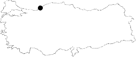
Region: |
Black Sea | |||
|
Province: |
Zonguldak | |||
|
District: |
Karabük | |||
|
Village: |
Çaycuma | |||
|
|
||||
 |
||||
| It was formed within andezites. It was explored and mapped to the BCRA 4b standards by C. Chabert in 1977. |
| Location: |
| Structural Properties and formation : |
| Research History: |
| Findings: |