|
|
||||
|
|
||||
|
Meyvaliköy |
||||
|
For cave maps and drawings please click on the picture... |
For photographs please click on the photo... |
|||
|
 |
|||
|
Type: |
Horizontal Cave | |||
|
Altitude: |
m | |||
|
Depth: |
m | |||
|
Length: |
1100 m | |||
|
Region: |
Marmara | |||
|
Province: |
Balikesir | |||
|
District: |
Bigadiç | |||
|
Village: |
Dervisler | |||
|
|
||||
 |
||||
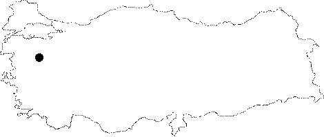
| Location: It is located in the Dervisler Village among the Alacam Mountains. |
| Structural Properties and formation : It was formed within the Cretaceous aged; non-local crystallized limestones. It consists of three sections; which are as follows; continuously active section at the lower level; semi-active section at the middle level and fossil section at the upper level. In the active sections; there is an underground creek; maintaining its flow in summer or winter; which is indication of the fact that it is supplied in a well-balanced manner. Inside and outside cave; there are faulting; particularly fault breccias inside the cave. |
| Research History: It was explored by the Cave Research Club of the Dokuz Eylül University in 1999. |
| Findings: One albino bat was seen in the hall called "Beyaz Yarasa/White Bat" |