|
|
||||
|
|
||||
|
Meratepe |
||||
|
For cave maps and drawings please click on the picture... |
For photographs please click on the photo... |
|||
|
 |
|||
|
Type: |
Cave | |||
|
Altitude: |
453 m | |||
|
Depth: |
-9 m | |||
|
Length: |
55 m | |||
|
Region: |
Marmara | |||
|
Province: |
Sakarya | |||
|
District: |
Kocaali | |||
|
Village: |
Kestanepinari | |||
|
|
||||
 |
||||
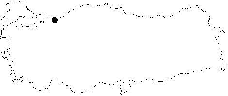
| Location: It is located on the northern slope of Keltepe near Kestanepinari Village; which is 15 km south of Kocaali District at the Karadeniz coast in the northeast of Adapazari. It is near the caves of Tepebasi and Serbetpinari. |
| Structural Properties and formation : Meratepe is a sinkhole type fossil cave. It had developed in NE-SW and E-W directions; and its last section is at -3.5 m from the entrance. The entrance and final locations of the cave were suspended according to the middle section at -9 m. Its basin is covered with blocks; debris; and fossil soil; and its development came to a complete halt. There are stalactites; stalagmites; columns; and flowstones among those blocks; and debris. Additionally there are dripstone formations. |
| Research History: It was researched by the Geological Studies Department of the MTA General Directorate; and published in 2002. |
| Findings: |