|
|
||||
|
|
||||
|
Magaza |
||||
|
For cave maps and drawings please click on the picture... |
For photographs please click on the photo... |
|||
|
 |
|||
|
Type: |
Vertical Cave | |||
|
Altitude: |
1295 m | |||
|
Depth: |
-24.5 m | |||
|
Length: |
40 m | |||
|
Region: |
Central Anatolia | |||
|
Province: |
Eskisehir | |||
|
District: |
Han | |||
|
Village: |
Merkez | |||
|
|
||||
 |
||||
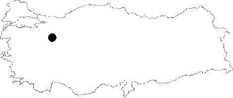
| Location: It is located where the Uccam and Magara Creeks join; 10 m high from the base of the valley on the left bank of the Uccam Creek flowing into the Sakarya River; 5 km southwest of the Han District; about 95 km southeast of Eskisehir. It can be reached from the Eskisehir-Cifteler-Han or Eskisehir-Seyitgazi-Han motorways. The road passing over the Uccam Creek; running to the Pecenek and Mallica villages from Han passes by the cave. |
| Structural Properties and formation : It is a fossil cave which halted its development. It drops into a -13.5m steep shaft. Having soil; pebbles and debris at the bottom; it has wall dripstones in the final zone. |
| Research History: It was explored by MTA; and its map and other characteristics were published in 2001. |
| Findings: Cave flies were seen in the entrance zone. |