|
|
||||
|
|
||||
|
Külçeini |
||||
|
For cave maps and drawings please click on the picture... |
For photographs please click on the photo... |
|||
|
 |
|||
|
Type: |
Horizontal Cave | |||
|
Altitude: |
550 m | |||
|
Depth: |
-35 m | |||
|
Length: |
167 m | |||
|
Region: |
Central Anatolia | |||
|
Province: |
Eskisehir | |||
|
District: |
Merkez | |||
|
Village: |
Çalkara | |||
|
|
||||
 |
||||
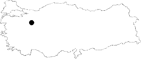
| Location: It lies on the left slope of Kurudere flowing between the Kücükbursa Hill and the Kocacal Hill (983 m); 2 km northwest of the Calkara Village; about 30 km northwest of Eskisehir. It has an entrance overviewing the Sakarya River. It is accessible from the Eskisehir-Inhisar (Bilecik) road; which is an asphalted road passing through the Calkara Village. It is reached after a one-hour walk from the village. |
| Structural Properties and formation : It is a spring type of fossil cave which developed horizontally. It was formed over two intersecting fault lines in the northwest-southeast and north-south directions within the Upper Permian Triassic aged Derbent limestones. The width reaches to 18 m at some parts while the roof height reaches up to 5 m. The floor of the main gallery is covered with soil; debris and big collapsed blocks. At the intersection point of the faults; the cave shapes into a rounded hall. In this alcove-shaped galleries; which comprise the deepest part of the cave (-35 m); there are stalactites; stalagmites; columns and wall dripstones. Decorations are rare in other sections. |
| Research History: It was explored by MTA; and its map and other characteristics were published in 2001. |
| Findings: No remarkable forms of life were found except a small number of bats. |