|
|
||||
|
|
||||
|
Küçük Ihsaniye |
||||
|
For cave maps and drawings please click on the picture... |
For photographs please click on the photo... |
|||
|
 |
|||
|
Type: |
Horizontal Cave | |||
|
Altitude: |
60 m | |||
|
Depth: |
-8 m | |||
|
Length: |
89 m | |||
|
Region: |
Black Sea | |||
|
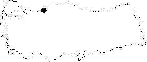
Province: |
Zonguldak | |||
|
District: |
Merkez | |||
|
Village: |
Ihsaniye | |||
|
|
||||
 |
||||
| Location: The Kozlu-Güney-Ihsaniye-Kozlu Dam road leads near to the cave. It can be reached after a 15 minute-walk through a pathway inside the creek from the village of Ihsaniye. It lies next to the Ihsaniye Cave. |
| Structural Properties and formation : Being a horizontally developed; semi-active cave; it was formed within the Visean limestones; which are very suitable for karstification. At the end of the cave; there is a lake with an approximate depth of 4 m. Like a siphon; it was developed over a joint. The underground creek disappearing at the Ihsaniye Cave; resurges as a spring near the Ihsaniye Creek after passing through this siphon. |
| Research History: It was explored and mapped by MTA. |
| Findings: |