|
|
||||
|
|
||||
|
Kuyutarla 2 |
||||
|
For cave maps and drawings please click on the picture... |
For photographs please click on the photo... |
|||
|
 |
|||
|
Type: |
Vertical Cave | |||
|
Altitude: |
137 m | |||
|
Depth: |
-30 m | |||
|
Length: |
52 m | |||
|
Region: |
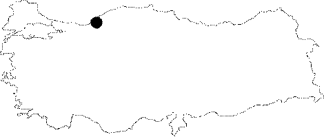
Black Sea | |||
|
Province: |
Zonguldak | |||
|
District: |
Merkez | |||
|
Village: |
Çatalagzi | |||
|
|
||||
 |
||||
| Location: It can be reached from the Zonguldak-Kilimli-Catalagzi-Cumayani-Ayici road. The road deviating to right at the exit of Cumayani leads near to the cave. It can be reached after a 15-minute walk. Alternative to Cumayani; the cave; located 50 m southeast of the Kuyutarla 1 Cave; can also be reached from Gelik. |
| Structural Properties and formation : It is a fossil cave developed vertically over a large fracture system. The impact of this fracture system is obvious on the open terrain. Recent depressions and sittings in the northwest-southeast direction are as result of fractures. |
| Research History: It was explored and mapped by MTA. |
| Findings: |