|
|
||||
|
|
||||
|
Kuyutarla 1 |
||||
|
For cave maps and drawings please click on the picture... |
For photographs please click on the photo... |
|||
|
 |
|||
|
Type: |
Horizontal Cave | |||
|
Altitude: |
135 m | |||
|
Depth: |
+2 m | |||
|
Length: |
43 m | |||
|
Region: |
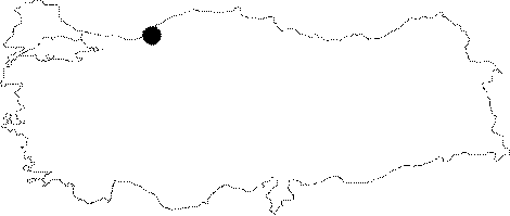
Black Sea | |||
|
Province: |
Zonguldak | |||
|
District: |
Merkez | |||
|
Village: |
Çatalagzi | |||
|
|
||||
 |
||||
| Location: It can be reached from the Zonguldak-Kilimli-Catalagzi-Cumayani-Ayici road. The road deviating to right at the exit of Cumayani leads near to the cave. It can be reached after a 15-minute walk. It lies very close to the Cemal Tepe Sinkhole. |
| Structural Properties and formation : Being a horizontally developed cave; it houses debris and red-black coloured fossil layer at the bottom. In the middle; there is a +14 m natural chimney. Poor in dripstone decorations; it was formed during the Pliocene Age. |
| Research History: It was explored and mapped by MTA. |
| Findings: A few bats inhabit the final zone. |