|
|
||||
|
|
||||
|
Kuyumcu Düdeni |
||||
|
For cave maps and drawings please click on the picture... |
For photographs please click on the photo... |
|||
|
 |
|||
|
Type: |
Vertical Cave | |||
|
Altitude: |
1445 m | |||
|
Depth: |
-40 m | |||
|
Length: |
44 m | |||
|
Region: |
Marmara | |||
|
Province: |
Bilecik | |||
|
District: |
Bozüyük | |||
|
Village: |
Dodurga | |||
|
|
||||
 |
||||
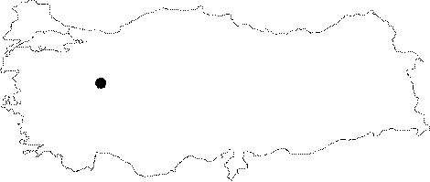
| Location: It lies on the northern ridge of the Kuyumcudoruk Hill; 5 km southwest of the Dodurga Town. It can be reached by off-road vehicles or tractor from the town of Dodurga; which is 1 km far from the Bozüyük-Seyitömer motorway. |
| Structural Properties and formation : It was developed like a shaft; and it consists of two interconnected steps. Of these steps; the one with -36 m was descended; but the other one has not been explored yet. |
| Research History: It was explored and mapped by MTA; and published in 1997. Explored by MAD in 1996; it was mapped to the BCRA 3c standard. |
| Findings: |