|
|
||||
|
|
||||
|
Köpek Öldüren |
||||
|
For cave maps and drawings please click on the picture... |
For photographs please click on the photo... |
|||
|
 |
|||
|
Type: |
Vertical Cave | |||
|
Altitude: |
1100 m | |||
|
Depth: |
-66 m | |||
|
Length: |
m | |||
|
Region: |
Aegean | |||
|
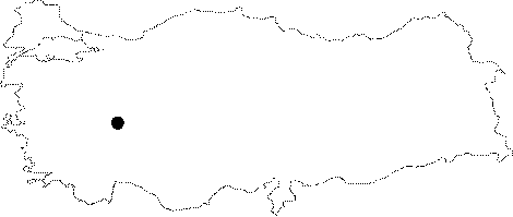
Province: |
Afyonkarahisar | |||
|
District: |
Emirdag | |||
|
Village: |
Kurudere | |||
|
|
||||
 |
||||
| Location: The Afyon-Emirdag motorway leads to the Hamzacilar Village; and subsequently to the Kurudere Village. The Cobanyatagi Mevkii where the cave is located can be reached by a two-hour walk from the Kurudere Village. |
| Structural Properties and formation : It is a fossil cave which was developed on a hill overviewing the valley; with an entrance of 100 m high. The cave continues straightly along the joint formed from north to south. It consists of a total of three descents; and has a total depth of -66 m. Following the last descent comes a depression area; where it has been reported that this branch is likely to continue. |
| Research History: It was explored by MAD in March 1993; and mapped to the BCRA 3c standard. |
| Findings: Guano masses are an indication of a significant bat population in the cave |