|
|
||||
|
|
||||
|
Kozmandagi |
||||
|
For cave maps and drawings please click on the picture... |
For photographs please click on the photo... |
|||
|
 |
|||
|
Type: |
Cave | |||
|
Altitude: |
645 m | |||
|
Depth: |
-11 m | |||
|
Length: |
20 m | |||
|
Region: |
Black Sea | |||
|
Province: |
Ordu | |||
|
District: |
Kumru | |||
|
Village: |
Akçakese | |||
|
|
||||
 |
||||
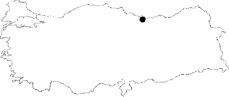
| Location: Along with the Yaylacik Cave; it is located on the Kozman Dagi Plateau; near the Akçakese Village; which is 15 NE from Kumru District; 35 km km south from Fatsa; 85 km southwest from Ordu. |
| Structural Properties and formation : Along with the Yaylacik Cave; it is situated in a region deeply fractured by Kumlu (Elekçi) Brook and Karakucak Stream which is one of its branches; and by the branches of Karakucak. Kozmandagi Cave has the same altitude with the Yaylacik Cave (645 m); and shares the same system. It consists of a pit shaped descent Ğ7 m long; and one single round shaped hall. The ceiling height is 5-6 m; the width is 10x8 m. The hall is filled with debris; blocks; and soil. It is a passage type; fossil cave that completed its development cycle. |
| Research History: It was researched by the Karst; and Cave Researches Unit of the Geological Studies Department of MTA General Directorate; and published in 2004. |
| Findings: |