|
|
||||
|
|
||||
|
Kocain |
||||
|
For cave maps and drawings please click on the picture... |
For photographs please click on the photo... |
|||
|
 |
|||
|
Type: |
Horizontal Cave | |||
|
Altitude: |
235 m | |||
|
Depth: |
- 19 m | |||
|
Length: |
186 m | |||
|
Region: |
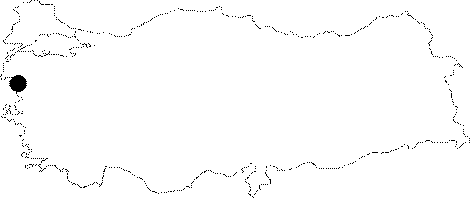
Marmara | |||
|
Province: |
Balikesir | |||
|
District: |
Kepsut | |||
|
Village: |
Akçakertil | |||
|
|
||||
 |
||||
| Location: It lies 1.5 km northeast of the Incirlikuyu Cave. The Kille Brook is on the left edge of the canyon valley. It is accessible by any vehicle from Dursunbey or Kepsut. And; then it can be reached by tractor or a half an hour walk going down to the Kille Brook where the Balikesir-Ankara railway passes across. |
| Structural Properties and formation : Located 50-60 m high from the base of the stream; it is a spring type of fossil cave. It has characteristics of a two-period development. The entrance is entirely fossil. The branch elongating to north and located at -19 m in respect to the entrance is much younger. The roof height ranges from 5 to 20 m. Stalactites; stalagmites; columns and wall dripstones are present at some parts. It was formed during the Quaternary epoch. It is dry in all seasons. |
| Research History: t was explored and mapped by MTA; and published in 1997. |
| Findings: A large colony of bats inhabit the big hall and final zone. |