|
|
||||
|
|
||||
|
Kocaçali Tepe Düdeni |
||||
|
For cave maps and drawings please click on the picture... |
For photographs please click on the photo... |
|||
|
 |
|||
|
Type: |
Horizontal Cave | |||
|
Altitude: |
130 m | |||
|
Depth: |
-23 m | |||
|
Length: |
33 m | |||
|
Region: |
Marmara | |||
|
Province: |
Balikesir | |||
|
District: |
Manyas | |||
|
Village: |
Soguksu | |||
|
|
||||
 |
||||
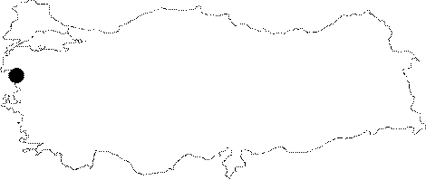
| Location: It is located on the western edge of the Kocacali Hill; overviewing the village; 2 km northeast of Eskimanyas (Soguksu); 10 km southeast of Manyas. It can be reached from Manyas or Göbel on the Susurluk-Bandirma motorway. Both roads leads to the entrance of the cave. |
| Structural Properties and formation : -33 m depth of the cave can be descended in two steps of -10 m and -5 m. In the entrance zone; there are masses of blocks; pebbles and sand while in the final zone; there is a 3 m deep lake. The level of this lake rises remarkably during rainy seasons. It is a sinkhole type of cave with inflow of water in rainy seasons. |
| Research History: t was explored and mapped by MTA; and published in 1997. |
| Findings: |