|
|
||||
|
|
||||
|
Koca 1 |
||||
|
For cave maps and drawings please click on the picture... |
For photographs please click on the photo... |
|||
|
 |
|||
|
Type: |
Horizontal Cave | |||
|
Altitude: |
305 m | |||
|
Depth: |
+2 m | |||
|
Length: |
24 m | |||
|
Region: |
Marmara | |||
|
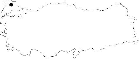
Province: |
Kirklareli | |||
|
District: |
Vize | |||
|
Village: |
Pazarli | |||
|
|
||||
 |
||||
| Location: Located 2 km north of the Pazarli Village on the Vize-Pinarhisar motorway; it lies on the left upper slope of the deep strait near the Sirikaya Ridge connecting to the Ergene River. It can be reached from Pinarhisar or Vize. A half an hour walk from Pazarli leads to the cave. |
| Structural Properties and formation : It was formed within the Eocene aged Kirklareli limestones overlying the Paleozoic gneisses of the Istranca Massif. Consisting of a single gallery; it has been entirely fossilized; and halted its development. At the bottom; there is a thick layer of soil and debris. A characteristic form of Pliocene epoch; it developed as a spring cave; and no speleothem can be found. |
| Research History: It was explored and mapped by MTA. |
| Findings: No remarkable forms of life are present except the cave spiders seen in the entrance zone. |