|
|
||||
|
|
||||
|
Kizlar Keleri |
||||
|
For cave maps and drawings please click on the picture... |
For photographs please click on the photo... |
|||
|
 |
|||
|
Type: |
Horizontal Cave | |||
|
Altitude: |
1440 m | |||
|
Depth: |
-36 m | |||
|
Length: |
110 m | |||
|
Region: |
Central Anatolia | |||
|
Province: |
Nigde | |||
|
District: |
Ulukisla | |||
|
Village: |
||||
|
|
||||
 |
||||
| It was explored by a mixed team of French cavers and MAD in 1989 during a joint expedition carried out in the Bolkar Mountains; and mapped to the BCRA 3b standards. |
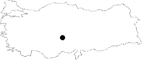
| Location: |
| Structural Properties and formation : |
| Research History: |
| Findings: |