|
|
||||
|
|
||||
|
Kirimsa Düdeni |
||||
|
For cave maps and drawings please click on the picture... |
For photographs please click on the photo... |
|||
|
 |
|||
|
Type: |
Vertical Cave | |||
|
Altitude: |
240 m | |||
|
Depth: |
-16 m | |||
|
Length: |
22 m | |||
|
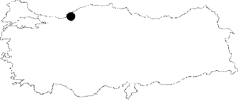
Region: |
Black Sea | |||
|
Province: |
Zonguldak | |||
|
District: |
Merkez | |||
|
Village: |
Kirimsa | |||
|
|
||||
 |
||||
| Location: The Zonguldak-Kilimli-Gelik-Ayici-Esenli-Kokurdan motorway passes 150 m south of the cave. Situated 1.5 km northeast of the Kizilelma Cave; it lies 500 m northeast of the Esenli Sinkhole. |
| Structural Properties and formation : It was formed within the Aptian limestones. A northwest-southeast directed fault contributed to its formation. It is located on the vadoze zone; and entirely dry except the rainy periods. The surface water conveyed by the small creek to the west of the sinkhole disappears immediately. It probably joins the active branch of the Kizilelma Cave. |
| Research History: It was explored and mapped by MTA. |
| Findings: |