|
|
||||
|
|
||||
|
Kir 2 |
||||
|
For cave maps and drawings please click on the picture... |
For photographs please click on the photo... |
|||
|
 |
|||
|
Type: |
Horizontal Cave | |||
|
Altitude: |
m | |||
|
Depth: |
-9 m | |||
|
Length: |
18.5 m | |||
|
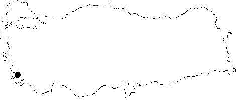
Region: |
Aegean | |||
|
Province: |
Mugla | |||
|
District: |
Kavaklidere | |||
|
Village: |
Kilinç | |||
|
|
||||
 |
||||
| It was explored by BUMAK in 1987; and mapped to the 3c standards. |
| Location: |
| Structural Properties and formation : |
| Research History: |
| Findings: |