|
|
||||
|
|
||||
|
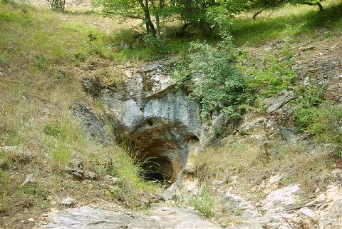
Kazandere / Serap |
||||
|
For cave maps and drawings please click on the picture... |
For photographs please click on the photo... |
|||
|
 |
|||
|
Type: |
Horizontal Cave | |||
|
Altitude: |
m | |||
|
Depth: |
+170 m | |||
|
Length: |
1683 m | |||
|
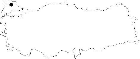
Region: |
Marmara | |||
|
Province: |
Kirklareli | |||
|
District: |
Merkez | |||
|
Village: |
Armagan | |||
|
|
||||
 |
||||
| Location: It is located near the Armagan Village. No definite direction is available. |
| Structural Properties and formation : It is entered through a mouth of approximately 2.5 squaremeters; followed by a descent with an incline of 6 m leading into a 3 m passage. This section is completely filled up by water during rainy seasons; resulting in an "elbow" siphon. Immediately after elbowing; the cave suddenly elevates around 3 m first; reaching to a spaciousness; then rises another 7 m. Then; the cave continues as a single gallery. Use of several techniques is required due to small travertine pool which is crossed by travertine bands; long lakes which do not allow any passage from time to time and narrow joints to be climbed over. It ends up with a siphon. |
| Research History: It was explored by MAD in 1995; and mapped to the BCRA 3c standard. |
| Findings: |