|
|
||||
|
|
||||
|
Kasap Kemal |
||||
|
For cave maps and drawings please click on the picture... |
For photographs please click on the photo... |
|||
|
 |
|||
|
Type: |
Vertical Cave | |||
|
Altitude: |
m | |||
|
Depth: |
-62 m | |||
|
Length: |
m | |||
|
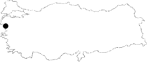
Region: |
Marmara | |||
|
Province: |
Balikesir | |||
|
District: |
Susurluk | |||
|
Village: |
Göbel | |||
|
|
||||
 |
||||
| It is 45 km far from Bandirma; 15 km from Susurluk to the north of Susurluk. It has an elliptical entrance; and starts with an inclination; and continues to descend with a 80 degrees curve to left. The bottom is full of mud. Extreme mud inflowed into the cave together with recent rainfall as the entrance is located in a field. There is a narrow passage indicating that the cave may continue toward the Manyas Lake. It was explored by BUMAK. |
| Location: |
| Structural Properties and formation : |
| Research History: |
| Findings: |