|
|
||||
|
|
||||
|
Kartiçi Koyagi |
||||
|
For cave maps and drawings please click on the picture... |
For photographs please click on the photo... |
|||
|
 |
|||
|
Type: |
Cave | |||
|
Altitude: |
1674 m | |||
|
Depth: |
-8.5 m | |||
|
Length: |
57 m | |||
|
Region: |
Central Anatolia | |||
|
Province: |
Karaman | |||
|
District: |
Merkez | |||
|
Village: |
Taskale | |||
|
|
||||
 |
||||
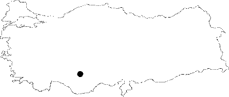
| It is located in the Kartiçi Mevkii; 12 km southeast from Taskale Town; which is in Yesildere Valley; east of Karaman. It is on a plateau type surface cracked by the rivers with a declination towards the Konya Meadow; approximately 2 km south of Incesu; and Asarini Caves. It was developed as a sinkhole type cave in north-south direction; on the basin of a uvala; which is situated on the upper section of a paleovalley; that was cut through by Incesu Stream; and left suspended. The cave which extends in NE-SW direction has two entrances. The first entrance is at the basin of the uvala; and the other is in the natural chimney at the end of the cave. The upper section of the chimney is at +5m above the main entrance. Its basin is filled with soil; sand; pebbles; and debris from external sources and there are almost no dripstone formations. It was researched by the Geological Studies Department of MTA General Directorate; and published under the title "Kartiçi Magarasi" in 2005. |
| Location: |
| Structural Properties and formation : |
| Research History: |
| Findings: |