|
|
||||
|
|
||||
|
Kapulukaya |
||||
|
For cave maps and drawings please click on the picture... |
For photographs please click on the photo... |
|||
|
 |
|||
|
Type: |
Horizontal Cave | |||
|
Altitude: |
420 m | |||
|
Depth: |
-70 m | |||
|
Length: |
300 m | |||
|
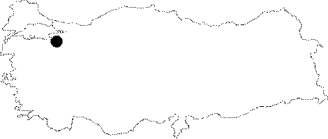
Region: |
Marmara | |||
|
Province: |
Bursa | |||
|
District: |
Yildirim | |||
|
Village: |
Degirmenlikizik | |||
|
|
||||
 |
||||
| Location: It is located on the right edge of the strait where the Kapulukaya Creek opens into the plain near the Degirmelikizik Village. |
| Structural Properties and formation : Located right above the point where the northern steep slope of Uludag combines with the plain; the entrance is 6 m high from the base of valley on the right slope of the Kapulukaya Creek which flows through a deep valley. It has a latticed structure. The entrance is a -11 m shaft. There is a significant amount of inflow from outside during rainy seasons as a result of directing the water of creek into the cave through a channel. |
| Research History: It was explored and mapped by MTA; and published in 1997. |
| Findings: Cave butterflies and limited number of bats were seen in the entrance zone. |