|
|
||||
|
|
||||
|
Kaptanin |
||||
|
For cave maps and drawings please click on the picture... |
For photographs please click on the photo... |
|||
|
 |
|||
|
Type: |
Horizontal Cave | |||
|
Altitude: |
40 m | |||
|
Depth: |
-9 m | |||
|
Length: |
39 m | |||
|
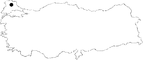
Region: |
Marmara | |||
|
Province: |
Kirklareli | |||
|
District: |
Vize | |||
|
Village: |
Kiyiköy | |||
|
|
||||
 |
||||
| Location: It can be reached from the Saray-Kiyiköy or Vize-Kiyiköy roads. The road running to Kastro from Kiyiköy passes through the upper part of the Büyük Kurudere Creek where the cave is located. |
| Structural Properties and formation : It was formed within the Eocene limestones near the contact zone of Eocene limestones in the Istranca Massif. It is a fossil cave which halted its development. Therefore; it is entirely dry except the waters leaking from roof and side walls. |
| Research History: It was explored and mapped by MTA. |
| Findings: No remarkable forms of life were seen except a few bats. |